 |
| Something to do while waiting for your bus. (Courtesy of Flickr user Kid Vincent) |
They've taken these emotions to the Internet, in the hopes of improving the relationship.
Torontonians have made a handful of apps that use GPS to indicate the next bus or streetcar. Citizens created a route planner before the TTC launched one.
One blogger even attempted the very idea of this blog (and chose a better username) last summer. There’s a slew of similar projects listed on the right-hand panel of this blog.
In 2010, one councilor led a citizen-run audit of the entire subway and RT system station-by-station. I’m looking into what came of it.
For Torontonians, transit is more than just getting from point A to B. Streetcars are a symbol of the city, and griping over delays is a social institution. The Toronto Star launched a multimedia project last month exploring how the Queen St. line covers most of the city, and not just physically.
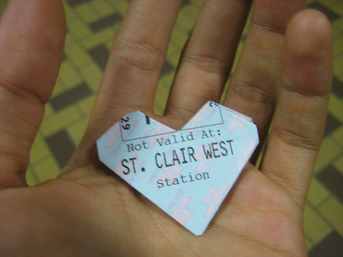
Our relationship with the TTC can even get quirky. One site publishes a subway efficiency guide, a pocket-sized printout that tells you which carriage and door gets you closest to the exits. The site also explains those orange and green platform dots, and how to game the streetcar system.
And while we wait for relief lines, integrated networks and express routes, subway fans have becoming imaginative. One compilation shows over a dozen fantasy maps that will delight, inspire and confuse you.
My favourite map is below, complete with a circling line and stops at Pearson airport and the zoo. But I’ll admit that Scarborough, like always, is shafted.
 |
| Click to enlarge, prepare to be amazed. |
No comments:
Post a Comment